When I was three years old, I convinced my older brother to take the training wheels off my bike. After a few spills, I figured out balance. Fifty years later, the joy of being on two wheels remains constant.
I grew up in Rutherford, New Jersey, and loved to explore my old hometown on a BMX bike. I loved finding little gems, like vacant construction sites to build jumps.
After riding every street in town, I started to push the limits. I crossed over the bridges into Passaic and Lyndhurst. I pedaled over the tracks into East Rutherford. By middle school, I was navigating my way to the movie theater in Secaucus.
If you know Jersey, riding a bicycle from Rutherford to Secaucus is nuts.
One thing I didn’t have back then was a road atlas. At least not a paper one. Garmin-style GPS didn’t exist yet, nor smartphones. The map was being built in my brain.
From the early 70s into the late 80s, I had built a strong foundation of roads throughout the small towns surrounding Rutherford. Then, in 1991, after graduating from high school, my ability to build maps in my mind got a major upgrade. I started riding motorcycles.
A day of riding and exploring jumped from tens of miles from home to hundreds of miles from a frat house in Hoboken. With so much geography to explore, I fell in love with the planning process.
I’d sit at a table and unfold an old school Rand McNally Road Atlas, highlighter in hand, and build a loop. From Hoboken up the Palisades into the Hudson River Valley, out west to the Delaware River, and then back home.
Each adventure was a little different. Before taking off, I studied the map, soaking in each turn for a leg of the trip to a natural break for gas, a scenic overlook, or a place to grab some food. While riding, the map stayed folded in my pocket as I navigated from memory. When I stopped, I’d pull it from my jeans, open it partway, find my current location, and then memorize the turns to the next destination.
I got lost a lot. And I found a lot. That was the fun of it.
Whenever I noticed a line of people, I’d pull over and go stand in it. I’d say to the person in front of me, “What are we in line for?”
“The best damn hamburger you’ve ever had in your life.”
And it was the best damn hamburger I’ve ever had.
My mind was a map. I knew roads from Maine to the Mississippi River to the Florida Keys. When someone asked for directions, I gave extreme detail.
“Make a right at that stop sign. When you pass the park on your left, get into the left lane. A few blocks after that, you’ll see a Han-Dee Hugo’s on the right and a Krispy Kreme on the far left corner. Take that left. If you’ve gone past the donut shop, you’ve gone too far.”
The transition from paper maps to relying on GPS happened so slowly that I didn’t notice it.
The first time I used a GPS was in 2006. I had a business trip from Raleigh to Winston-Salem, and the route through Greensboro was super confusing. My vague memory from that era is using MapQuest to figure it out, and then printing up directions to carry with me.
My teaching assistant, Josie, saw me struggling.
“I have a Garmin. Want to borrow it?”
I’ve been a fan of Garmin ever since. I buy their watches and bike computers.
Over the past twenty years, GPS has become ubiquitous. We went from Garmin displays mounted on dashboards to smartphone holders shoved into vents to built-in displays standard in cars.
In those same twenty years, I drifted from building maps in my mind while on two wheels to mindlessly navigating through life in the comfort of a four-wheeled air-conditioned cabin.
Without thinking about it, my sense of direction diminished.
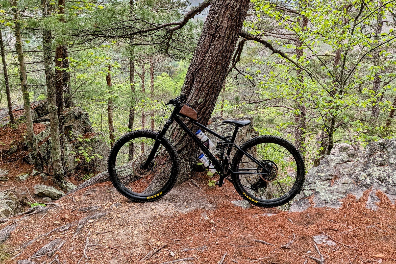
It’s 2026, and I’m not riding motorcycles much anymore. I’m back to my BMX roots, reincarnated on a mountain bike. Instead of seeking jumps at inner-city construction sites, I’m climbing Appalachian mountains. My legs are the engine on the way up. On the speedy downhills, I enjoy it when my wheels leave the ground.
I love to plan big mountain biking adventures.
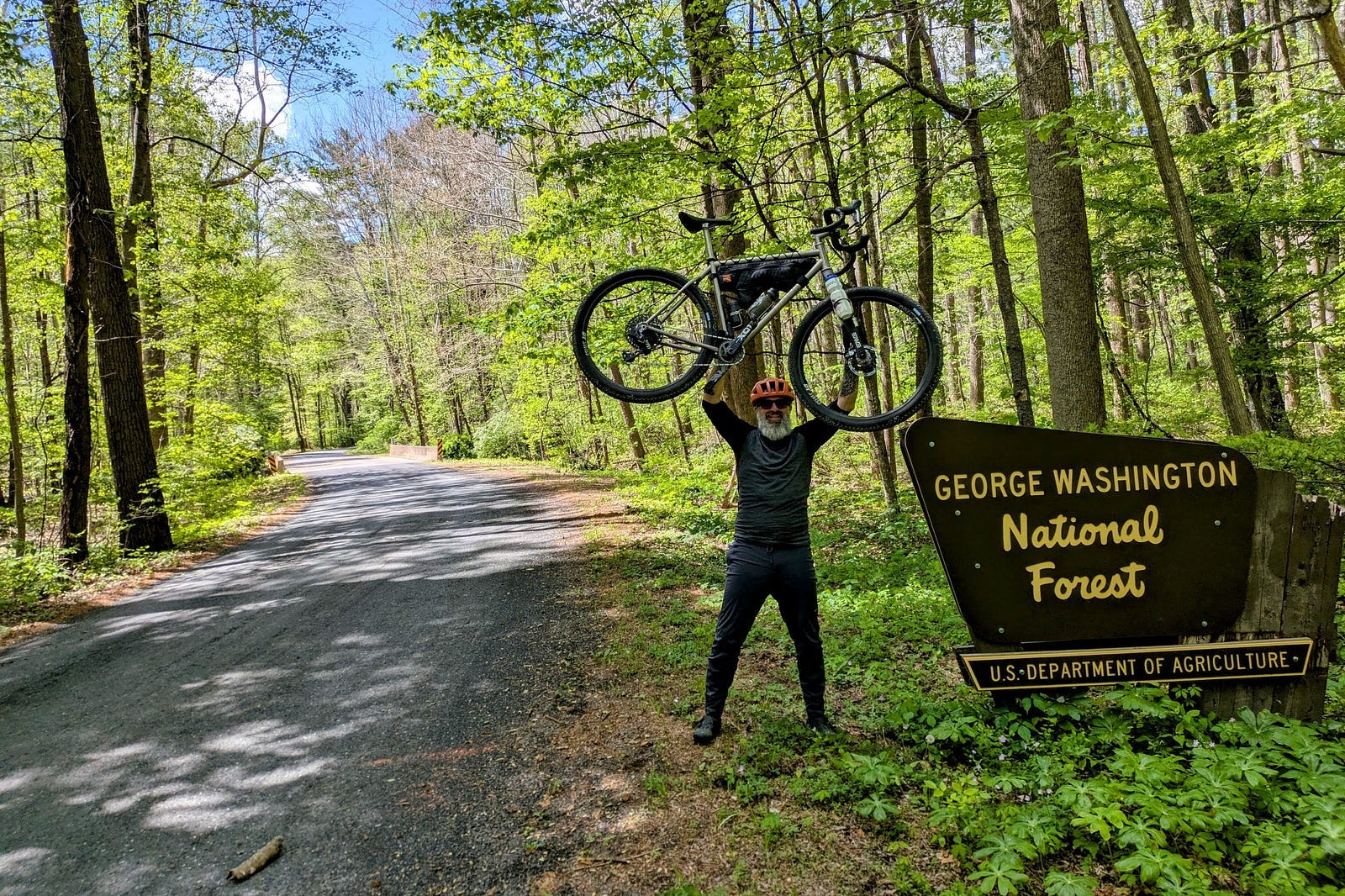
Sitting in our cozy Airstream, I pop open my laptop and explore the George Washington National Forest. I use Ride With GPS and Trailforks, two popular cycling apps, to build a route. I upload that to my Garmin bike computer, mount it on my handlebars, and I’m off on an adventure into the woods.
That’s how I would have done it last week.
This week, I had a revelation.
I work with thought leaders in medical innovation. These are brilliant scientists and physicians who are coming up with next-generation solutions to improve and extend healthy living.
One such thought leader is an expert on Alzheimer’s disease. He posed a question based on a 2024 study of nearly nine million people who had died from all causes. Looking at their occupational health information, he asked which profession had the lowest rate of Alzheimer ’s-related deaths: physicians, investment bankers, engineers, taxi drivers, or university professors.
The answer: Taxi Drivers.
Why?
Your brain is a “use-it-or-lose-it” organ. Taxi and ambulance drivers armor their brains against neurodegeneration through the “on-the-fly” decision-making they do 10 hours a day. — Dr. Evaristus Nwulia
This LinkedIn post from Dr. Nwulia, my friend and colleague in the National Institutes of Health (NIH) Blueprint MedTech program, got my wheels turning.
I care about my brain health. Sleep, healthy food, reading, writing, and exercise are all good for the brain.
But I didn’t have ‘dependency on GPS’ as a top-of-mind topic for brain drain. Too much drinking. Doing drugs. Sure. But GPS?
We’re staying in Stokesville, and the single-track flows right by our camper.
Over breakfast with my wife, Abby, I went on a rant about GPS and the connection to Alzheimer’s. Moments later, I was on my laptop planning a mountain biking adventure into the woods.
Abby said, “Don’t you think it’s worth noting that you just read me that LinkedIn story about taxi drivers and now you’re on your computer planning a ride?”
“I do think it’s ironic. Yes. But I’m doing it differently today.”
I recalled the joy I had thirty-five years ago studying the paper map, memorizing it, and then peeking at it during breaks on my motorcycle journeys.
Today, that’s how I plan to use GPS. I can study it on my laptop screen. It’s nice and big. It serves the purpose that an unfolded paper map did way back then. It’s more advanced, sure. But the essence is the same. See the big picture. Plan the trip. Memorize the trail names and turns.
No bike computer mounted on my bars. Nothing to look at but the trails ahead. From our campsite, take the single track up the hill. When it starts veering to the left, keep an eye out for a trail on the right. That should be Hankey Mountain.
I turned right on the trail and rode for a few hundred yards before stopping to check the phone in my pocket. Smiling, “Yup. This is it.”
The map on the small screen. It’s like the folded-up map I’d check on my motorcycle rides.
“What’s different?” asked Abby.
“I used to create a route, upload it to my bike computer, and have that reference on my handlebars the whole time.”
With the heads-down display, I didn’t need to wonder. When will I see that turn for what I think is Hankey Mountain? I’d look down over and over again until making the correct turn, then just keep on riding.
It wasn’t just brain drain. It was wonder drain. It was joy drain.
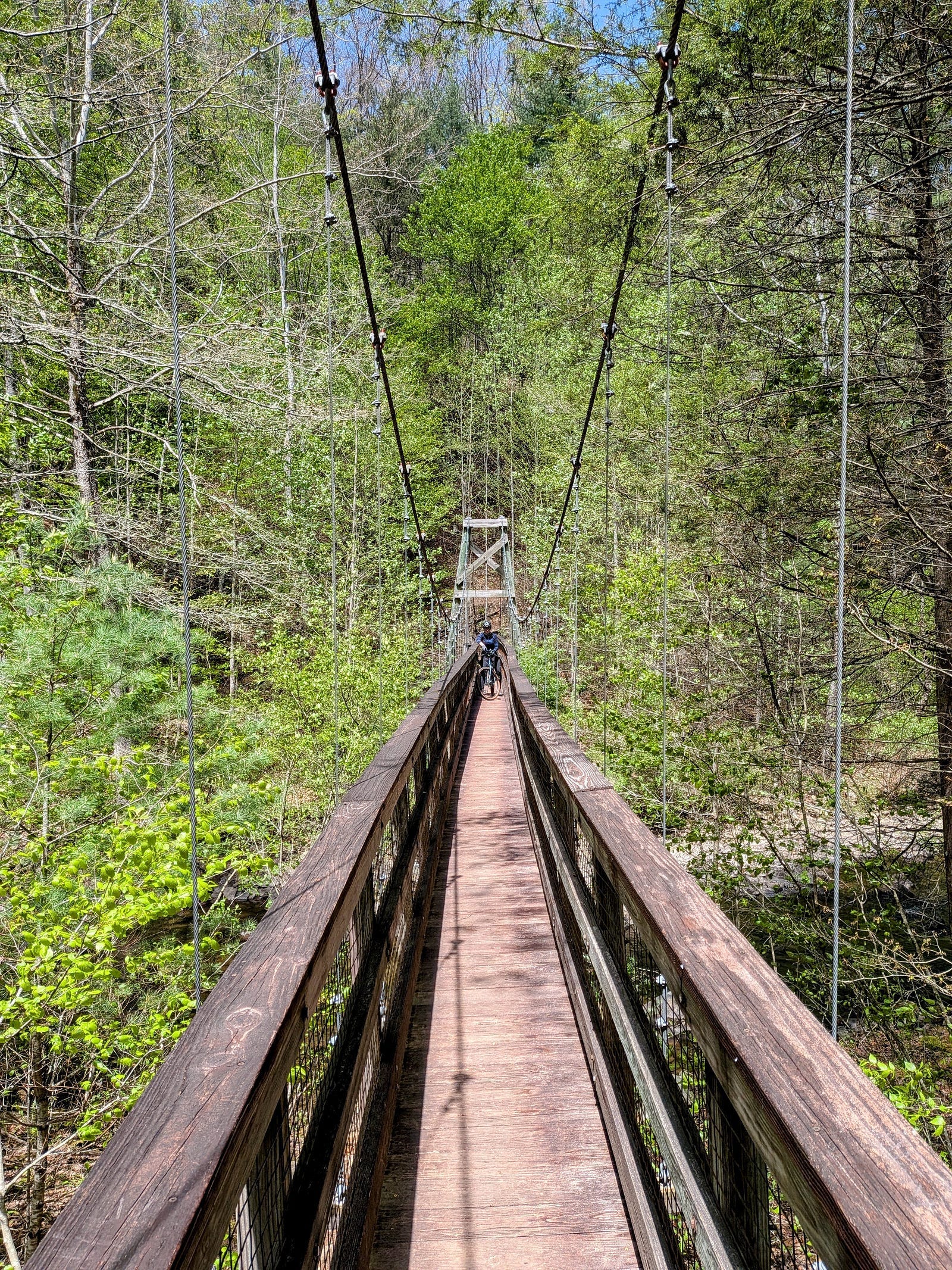
At the top of Hankey Mountain, I found the trailhead for Lookout Mountain. That trail took me all the way back down across North River and into George Washington National Forest. To cross the riverbed, I went over a suspension bridge that was so narrow, I had to stand my bike on its back wheel to clear the handlebars.
From there, I proudly made it all the way back to camp without checking the map.
I told Abby about a doe with a white tail. “She was only on the trail for a moment. It was the most fluffy white tail I’ve ever seen.” If that computer were on my handlebars, I might have missed her, looking down at a GPS instead of up into nature.
“Oh, and there was this cool suspension bridge. It swayed and rocked while crossing it. If we go back the way I returned, we can get to it on our gravel bikes.”
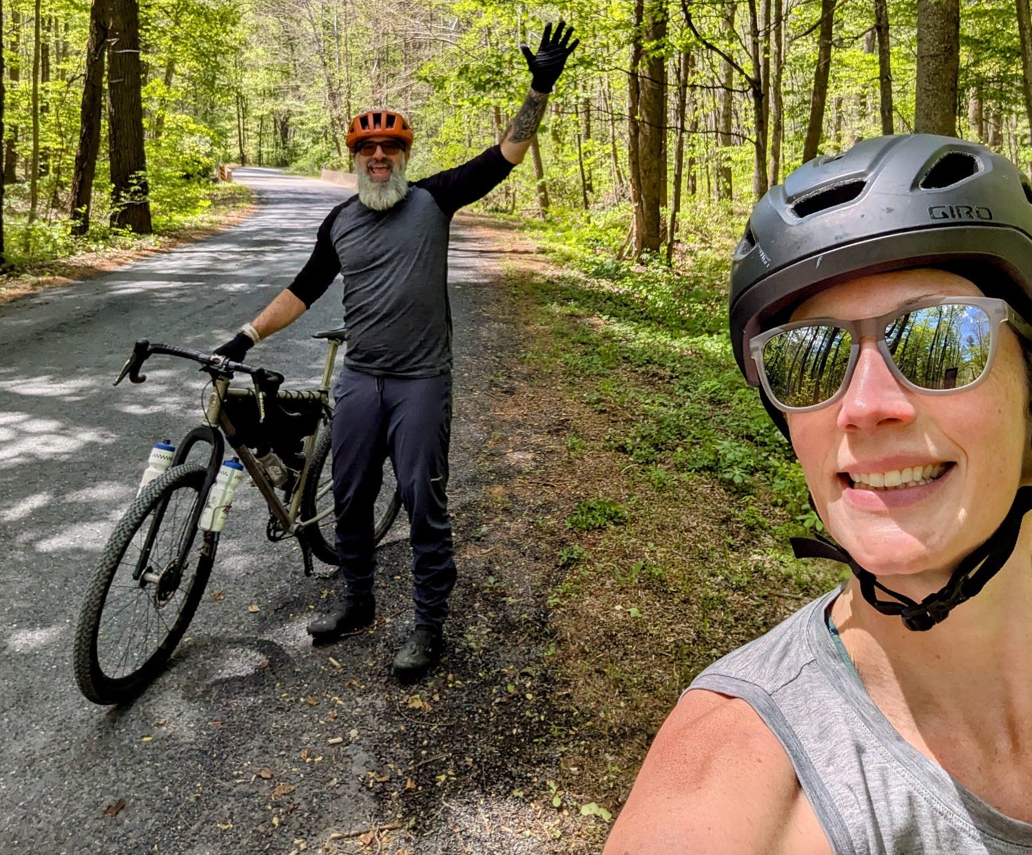
The next day, that’s just what we did. No GPS necessary.
My grandfather died of Alzheimer’s disease. That has stuck with me. Losing memories is scary. It’s a tragedy that so many people experience with their loved ones.
With the tools of cognitive offloading growing at an exponential rate, the small things we choose to do every day for brain health matter now more than ever.
For me, it starts all over again on two wheels. I’m rebuilding the map in my mind.
Thank you for reading.
Health, happiness, kindness, respect
for every being and all things.
— Andrew

Originally published in The Narrative Arc on Medium
More photos for fun: